|
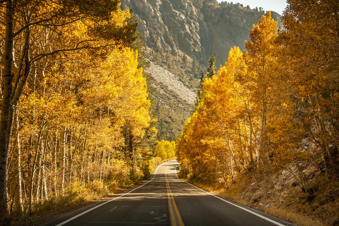
Over the last few weeks, many national forests and activities have been closed due to the extreme wild-fire situation in California. Although there has not been any direct risk to Mammoth Lakes, and the town has not had any evacuations or evac warnings, forests were closed to preserve fire fighting resources and to prevent additional fires. We have just learned that as of tomorrow, Inyo National Forest will open many areas, which is great news for guests and local businesses alike. And just in time for fall foliage . . . We've collected the info we can from a ton of sources and posted them below for your info. We will continue to update this info as more info comes available. Scroll down, past the breathtaking photo of June Lake Loop (courtesy of Dakota Snider for Mammoth Lakes Tourism) for more 'what's open' info.  *ALL FIRES ARE PROHIBITIED*Open Hiking and Forest Areas (Courtesy of Mammoth Lakes Tourism)
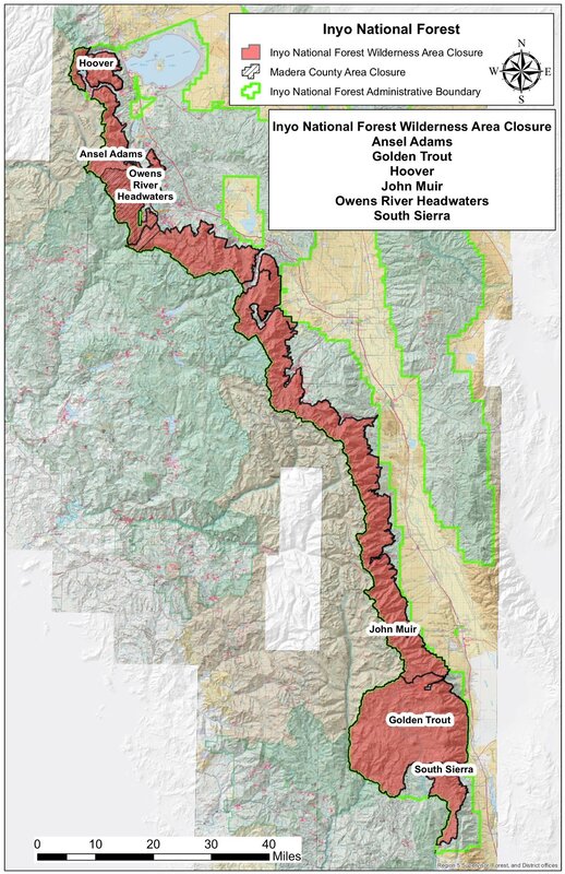
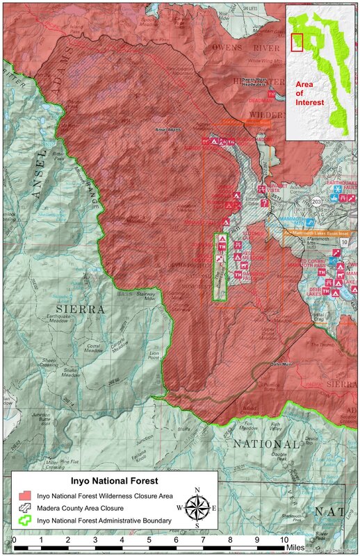
What does this really mean? (courtesy Mammoth Times FB page)Starting tomorrow, day hike, fish, walk, camp, dog walk, boat, etc., all the Inyo National Forest places we call the 'front country,' i.e. areas that are not official federal Wilderness areas, meaning places like June Lake and Silver and Gull and Convict lakes and.... on and on. Where it gets complicated is when you get on a trail headed into the Sierra range. That is because every trail headed in the Sierra range starts out in a parking lot or non-Wilderness and then eventually, if you are hiking uphill into the high Sierra range, you hit officially designated Wilderness boundaries and those boundaries are always marked by a big wooden sign. What makes is more complicated is that the Wilderness boundaries start at different distances up every single trail. For example, you could hike up McGee Creek canyon for about a half mile before hitting Wilderness; other trails, the boundary is closer, or further. Also, we have two other area in the Inyo that don't get a lot of use; the White Mountains and the Inyo Mountains and they each have official Wildernesses in them. Those official Wilderness areas will reopen. So, the bottom line is you need a good map or you just need to walk up a trail until you hit the marked Wilderness boundary. ... We hike this country all the time and even we cannot tell you right now exactly where every Wilderness boundary is! The Inyo recommends going online to the Eastern Sierra Interpretive Association at https://sierraforever.org. They have a phone number as well and can help you get the specific info you need. Otherwise, just day hike until you hit the signed Wilderness boundary. If you go past it, you are in a closed area. Inyo Closure Area Maps (Click to enlarge. From Inyo Nat'l Forest)What's Still Closed (Courtesy of Mammoth Lakes Tourism) What is still closed?
The Inyo portions of the South Sierra, Golden Trout, John Muir, Ansel Adams, Owens River Headwaters, and Hoover Wilderness Areas remain closed through December 1, 2020.This closure may be rescinded or extended as needed. Many of the Inyo’s trail networks lead into active fire areas that are closed and that are managing complex and difficult fires.
0 Comments
Your comment will be posted after it is approved.
Leave a Reply. |
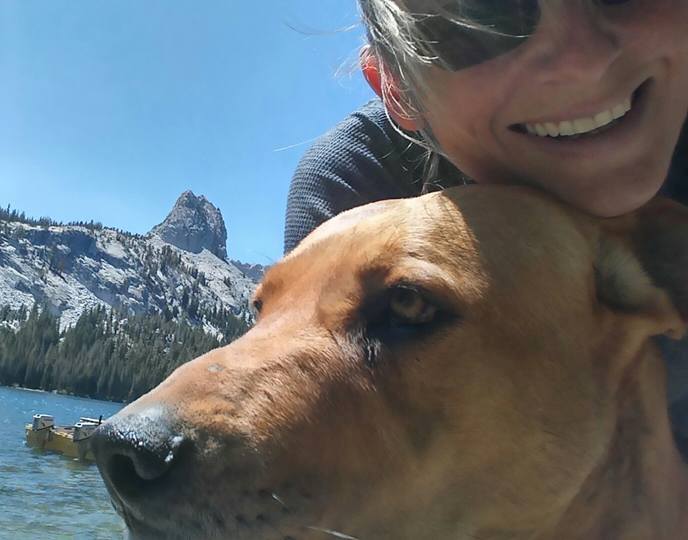
AuthorMary Beth is the owner of Adventure Refined, where she offers true luxury Mammoth Lakes homes to guests. In her spare time she runs a ranch, loves a test pilot, and raises 4 boys & a 4 spoiled rotten dogs. Archives
October 2023
Categories
All
|


 RSS Feed